| Description |
|
| |
Russian Geographical Society
|
|
News of the Russian Geographical Society / Ros. acad. Sciences, Rus. geogr. island
. - St. Petersburg: Science, St. Petersburg Branch, 1865-
|
|
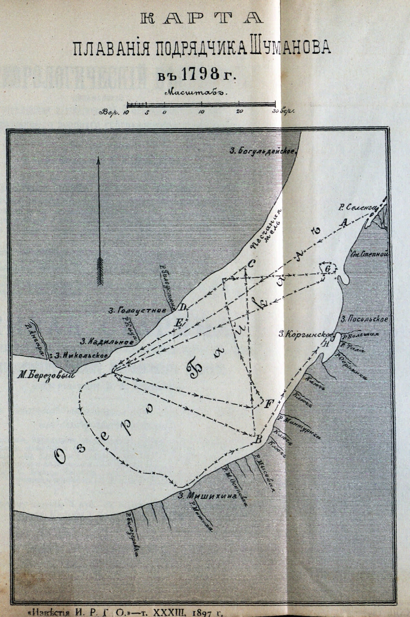
Map of navigation of the contractor Shumanov in 1798 [Maps]. - [1: 420,000], 10 versts in inch. - No coloring of areas. - Contents: Baikal coast: r. Kada, r. Goloustnaya, r. Great, r. Tala, r. The sword, r. The key, p. Mintourich, r. The key, p. Cape, r. M. Osipovka, r. Mishikha, r. Belozerovka
.
|
|
|
|
1. Territory of Russia (collection). 2. Lake Baikal, the lake (Siberia South-East) - Pool - Maps. 3. Geographic maps. |
|
|
BBK 26.89 (285.4) i64
|
|---|
|
|
Source of electronic copy: Irkutsk OGUNB
Location on the original: Иркутская ОГУНБ
|
|