Maps of postal roads of Russian Empire presented on Presidential Library's portal
The Presidential Library's collection has been enriched with new documents donated for digitisation by the Popov Central Museum of Communications. These are maps of Russian cities and post roads, published in the late 18th - early 19th centuries.
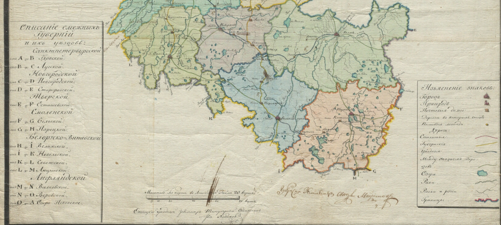
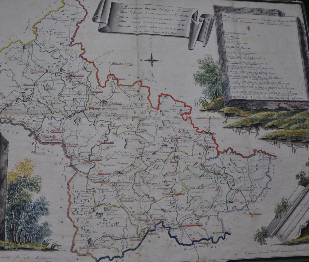
All maps are handwritten and are a work of art in their own way. Each Russian province had its own postal maps, which were later used as the basis for a unified postal map of the state.
Each map contains useful and important information for a traveller. For example, the postal map of Moscow governorate, which was "composed in 1797 by the provincial surveyor Grigory Khomyakov", gives a description of the list of adjacent counties of Kaluga, Smolensk, Vladimir, Ryazan and Tula provinces.
One of the compilers of the Postal Map of Pskov Governorate of the late 18th - early 19th century was Opochka district surveyor, titular councillor Novikov. In addition to describing the provinces adjacent to the Pskov province, he gives information about what signs on the map indicate the city, suburbs, post houses, villages, where the post horses stand; designates the capital, provincial and district roads. Also, where lakes, large, small rivers and streams are located between the cities.
The postal map of Saratov Governorate shows in detail the roads and stations that could be used to get from Saratov to such cities as Penza, Simbirsk Tambov, Astrakhan.
On the portal of the Presidential Library anyone can learn the Postal Road Book in three parts, published in 1829. The authors of the road book describe "postal roads from both capitals to all provincial, regional and border towns and places". The names of the roads are given in alphabetical order, their length is indicated, "all the cities and stations located on them, the provinces in which they consist, the distance between the stations, the distance from one city to another on the same road, the number of horses kept in each city or station, the total distance of the whole journey and shelters arranged for travellers".
In addition, the roadbooks printed "how many horses to harness into carriages at what time", about run money (payment for travelling along postal roads in the Russian state before 1917), about when the run money was issued from the treasury. The "order of acceptance of letters, money, documents and parcels" was prescribed, as well as information on weight, insurance and postal fees.
In the Russian Empire there were about three thousand state postal roads, which moved not only correspondence, but also passengers, who favoured such transport as the postal troika. In Alexander Pushkin's story "Station Keeper" there are such lines: "For twenty years I have travelled through Russia in all directions; I know almost all postal routes..."
In total, the Presidential Library digitised from the A. S. Popov Central Museum of Communications about 1000 postage signs from the State Collection of Russian postage signs, 378 printed publications, including postal travellers, 135 maps, including: "Map of European Russia" (the ratio of the average annual number of fires for 1860-1864 to the number of yards); "Cartogram of the percentage of sown area in the total area and diagrams of its distribution between winter and spring bread in 1886"; "Map of European Russia with the percentage of literate in the population, not counting children under 9 years of age" (1897), etc.