| Description |
|
| |
|
|
|
|
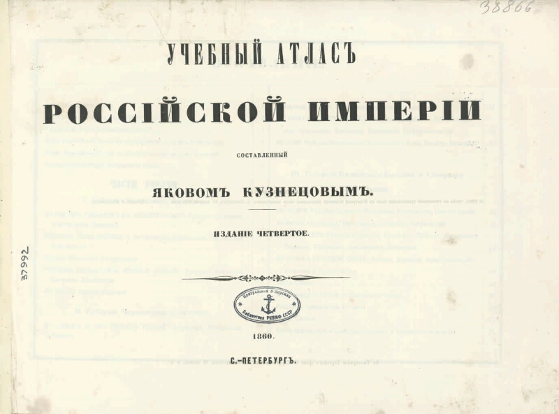
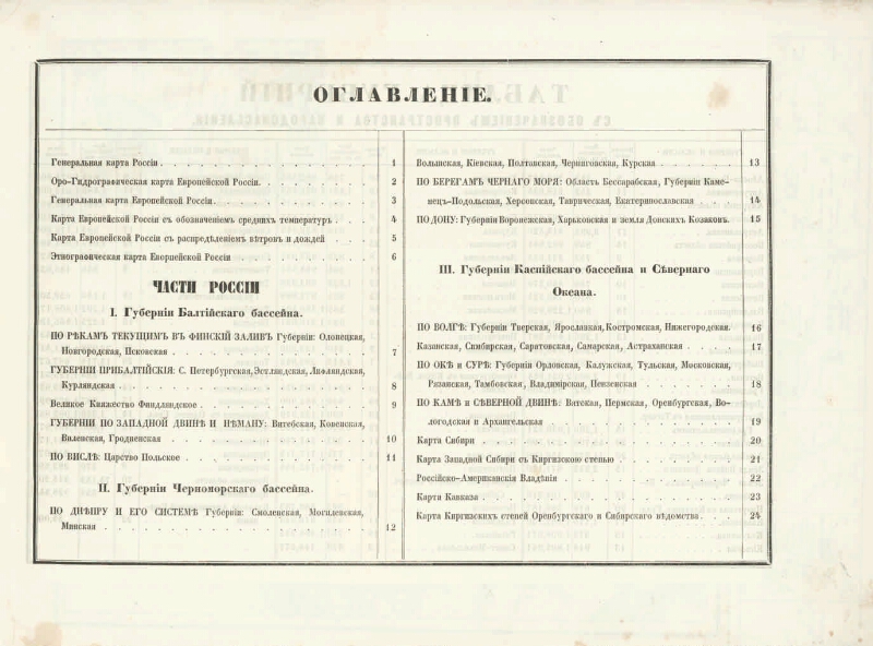
Educational atlas of the Russian Empire compiled by Yakov Kuznetsov [Maps]: [consisting of 21 maps]. - Ed. 4th. - [M-would be different]. - S. Petersburg: in the printing house of the Trading House S. Strugovshchikov, G. Pohitonov, N. Vodov and K., 1860. - [2] p., 21 h. cards: color. ; 27х40 cm. - Contents: General map of Russia; Oro-hydrographic map of European Russia; General map of European Russia; Map of European Russia with mean temperatures; Map of European Russia with the distribution of winds and rains; Ethnographic map of European Russia; By the rivers flowing into the Gulf of Finland. Provinces: Olonets, Novgorod, Pskov; Provinces of the Baltic: St. Petersburg, Estland, Livonia, Kurland; The Grand Duchy of Finland and others - Contained. also: a table of contents, a table of provinces with a designation of space and population. Not listed in the map: Map of the Southern and Middle Urals (2), Orographic Map of the Caucasus (2a)
.
|
|
|
|
1. Territory of Russia (collection). 2. Geography textbooks (collection). 3. Russia - Geography - Atlases. 4. Geographic maps. |
|
|
ББК 26.89 (2) я64я7
|
|---|
|
|
Electronic copy source: PB
The place where the original was stored: ЦВМБ
|
|